Mullerthal Grand Tour
A loop ride following the Mullerthal Grand Tour, through Luxembourg’s “Little Switzerland” past forests and rock formations.
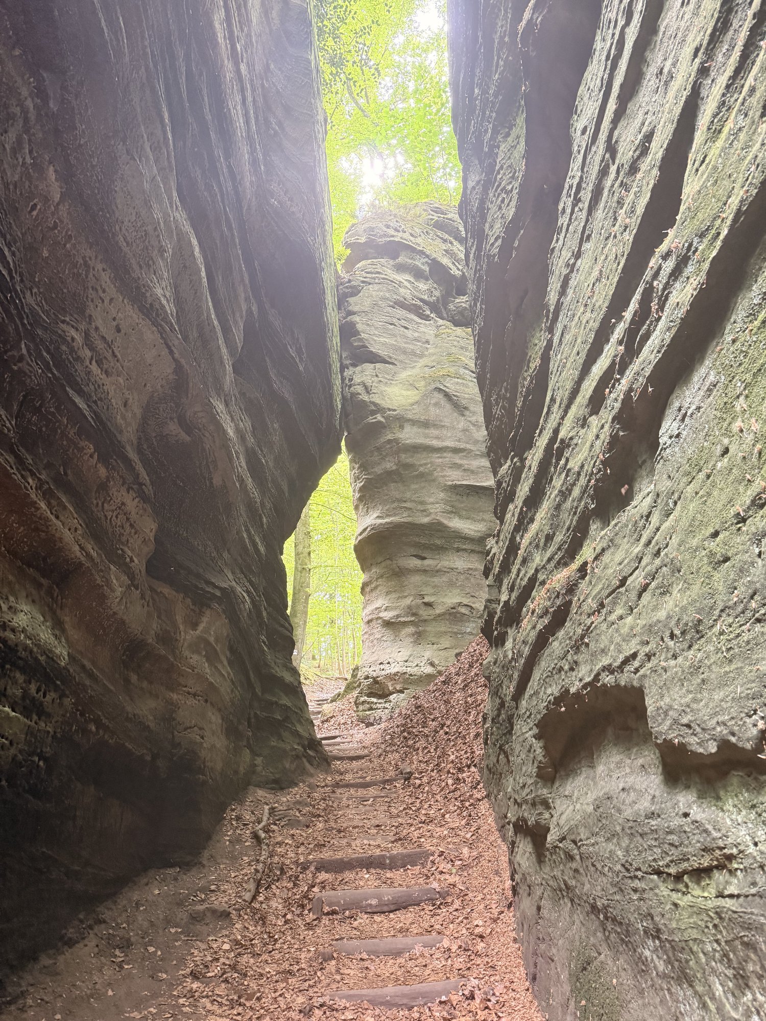
Plenty of people come to the Mullerthal looking for its famous waterfalls, but you won’t find those on the bike: they’re tucked away on the hiking trails between the rocks, real hiker’s territory. We tried walking a short stretch through the rock formations once, but in full riding gear you get tired of that pretty fast.
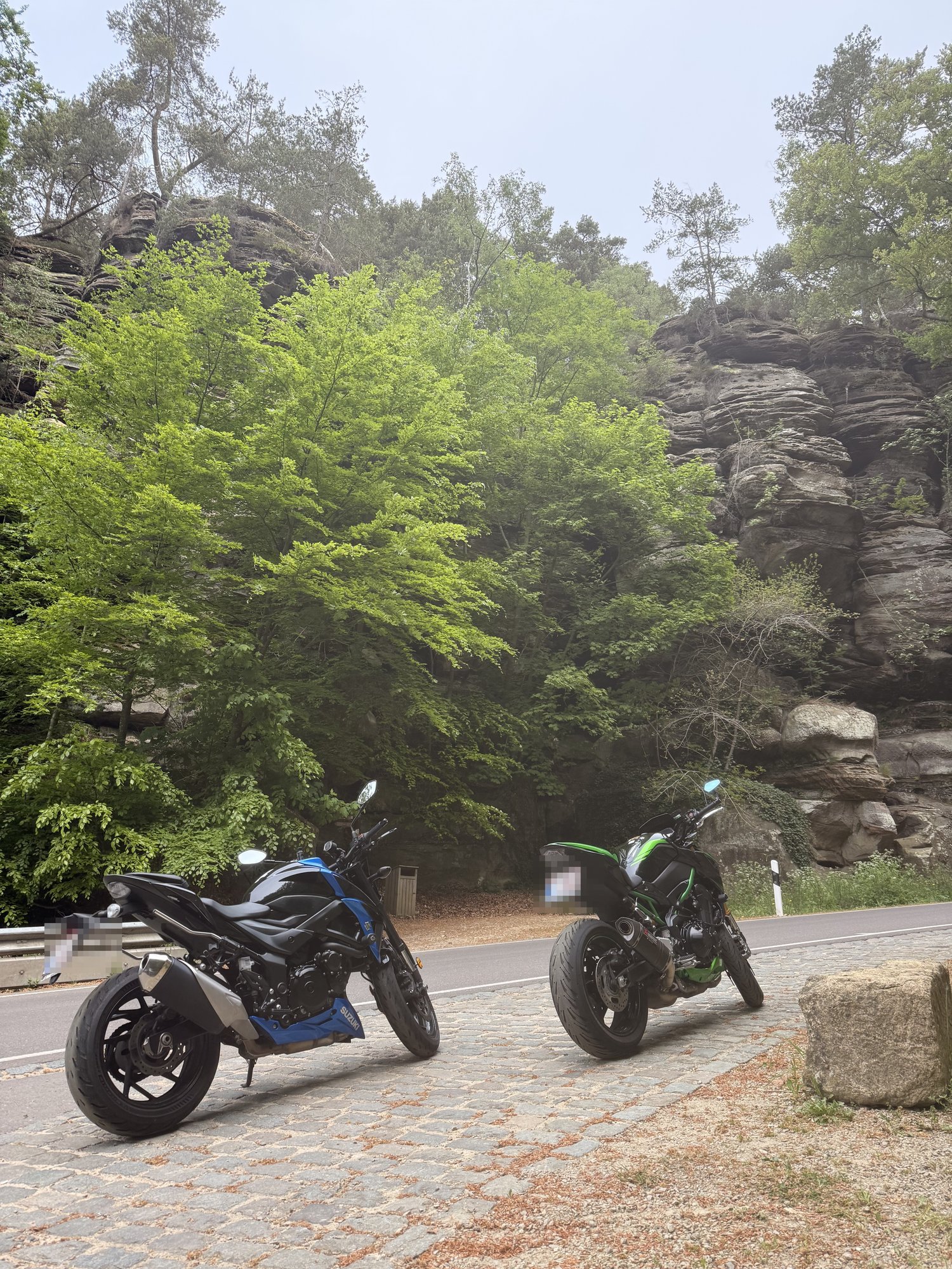
On the bike itself, though, you ride through a gorgeous landscape: forests with striking rock formations that sometimes sit right alongside the road, mixed in with fun straight stretches, nice corners and idyllic little villages.
Elevation profile
Stops & viewpoints
- 1Aquatower BerdorfA converted water tower right in Berdorf. A spiral staircase takes you to the top for a 360° panorama over the forests and rock formations of the Mullerthal.
- 2Heringer MillenA restored watermill in the hamlet of Mullerthal, just after Berdorf, now a brasserie with a terrace tucked into the forest. The best-known rest stop along this route.
- 3Beaufort CastleThe medieval fortress ruins, right next to the 17th-century Renaissance château. Outside the season (mid-March to mid-November) you can only take a photo from outside.
- 4Bourglinster CastleA 12th-century castle near the end of the loop, with a brasserie and an award-winning restaurant in its courtyard. A nice last stop just before you’re back in Echternach.
Based on the GPX track. Small deviations are normal.
Things to know about the Mullerthal Grand Tour
Little Switzerland is lower than it looks
Little Switzerland isn’t actually that high at all. The gorges and steep slopes make the landscape look far more mountainous than its actual elevation suggests.
Rock formations millions of years old
The rocks tell a story millions of years old. The sandstone formed from ancient sediments and was carved by erosion into the area’s distinctive gorges and rock formations.
UNESCO Global Geopark since 2022
The region is UNESCO-recognized. The Mëllerdall Nature & Geopark was awarded UNESCO Global Geopark status in 2022.
Between Grundhof and Berdorf
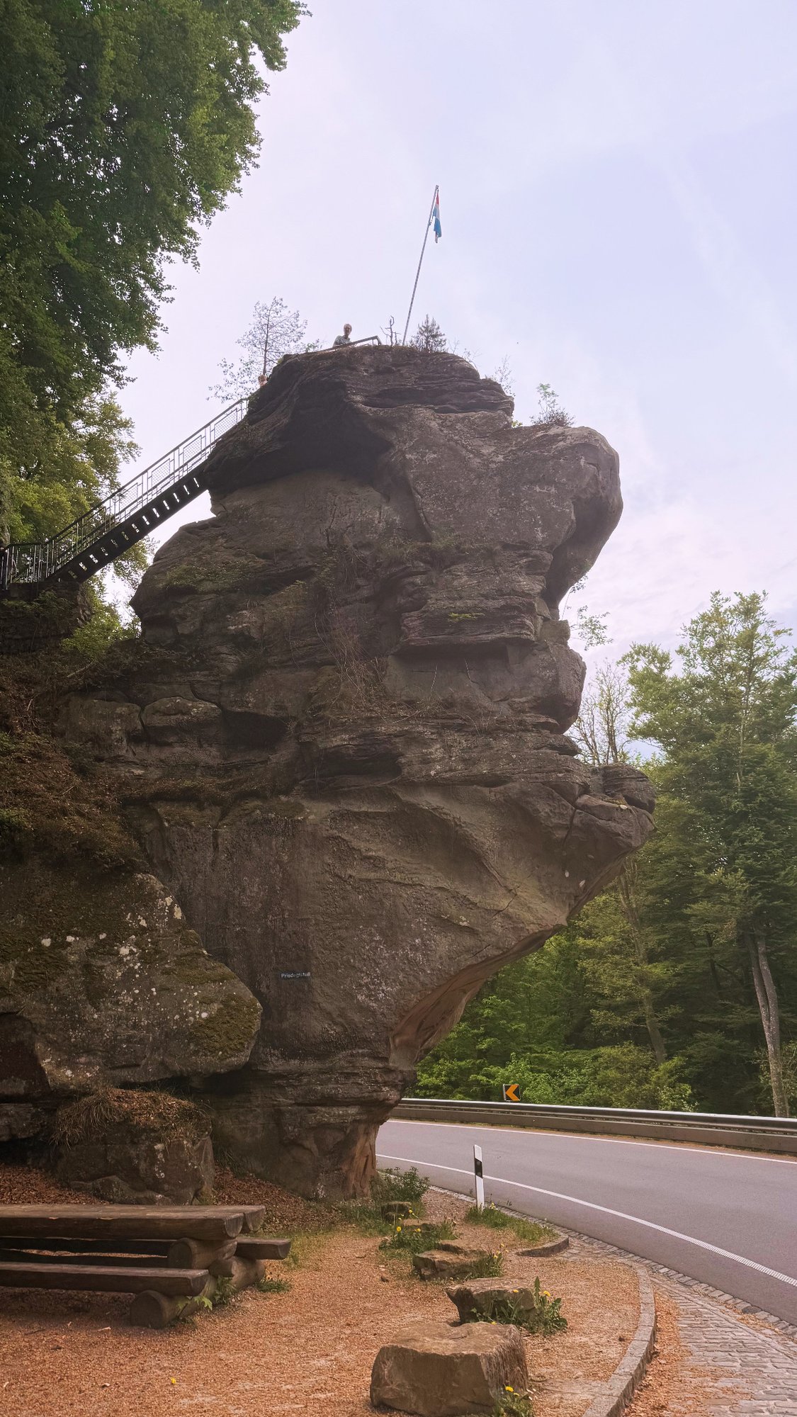
Especially the stretch between Grundhof and Berdorf, past the Priedegtstull and Perekop, is exactly the kind of road that stays with you: corners squeezed between massive rock walls, almost like riding through a natural tunnel. The Perekop is a huge rock formation that overhangs the road and that you can even climb.
Practical info on the road
Fuel is priced the same everywhere
We didn’t need to refuel on this one ourselves, but in Luxembourg there’s no point hunting for the cheapest pump: the government sets a maximum price nationwide, so almost every station charges the same. Right at the start you’ll find an Esso, Q8 and TotalEnergies in Echternach, and further round the loop in Junglinster there’s an Aral and a Gulf. So just fill up wherever suits you.
Break at Heringer Millen
A regular pit stop along this route is Brasserie Heringer Millen, a restored mill right in the Mullerthal, just after Berdorf. Think tarte flambée, burgers and other simple brasserie food, inside or on the forest terrace. We haven’t stopped there ourselves yet, but it’s the best-known rest spot on this route.
Castles are seasonal
Along the way you’ll pass both Beaufort Castle and Bourglinster Castle. Beaufort is only open from mid-March to mid-November, with last entry at 5 p.m. If you actually want to visit rather than just stop for a photo, check the opening hours beforehand.
No signposting, bring GPS
This loop largely follows the “Grand Tour du Luxembourg”, but isn’t signposted as a route of its own. In the smaller villages it’s easy to miss a turn, so load the track onto your GPS or phone beforehand rather than relying on signs.
On the road on the Mullerthal Grand Tour
Drag or scroll through the photos