Route des Crêtes – Vosges
An accessible day ride through the Vosges, with panoramic passes, forests and gentle corners.
We were looking for a short road trip of a few days, not too far from home, and after some searching we landed on the Vosges. The way there was a ride on the motorway to Colmar, where we played tourist for the evening and treated ourselves to typical Alsace food.
The next day we left our backpacks at the hotel and rode into the Vosges without any luggage, with the Route des Crêtes as the main goal. I didn't have particularly high expectations going in, but it turned out to be a very pleasant surprise. Traffic was really manageable: the occasional camper, a few other riders like us, and mostly road cyclists on the climbs. The scenery is simply beautiful, and the road is also a great place for a less experienced rider to practice: a handful of hairpins, long straight stretches and not much traffic. Just keep an eye on the road surface, since it isn't great everywhere.
Elevation profile
Stops & viewpoints
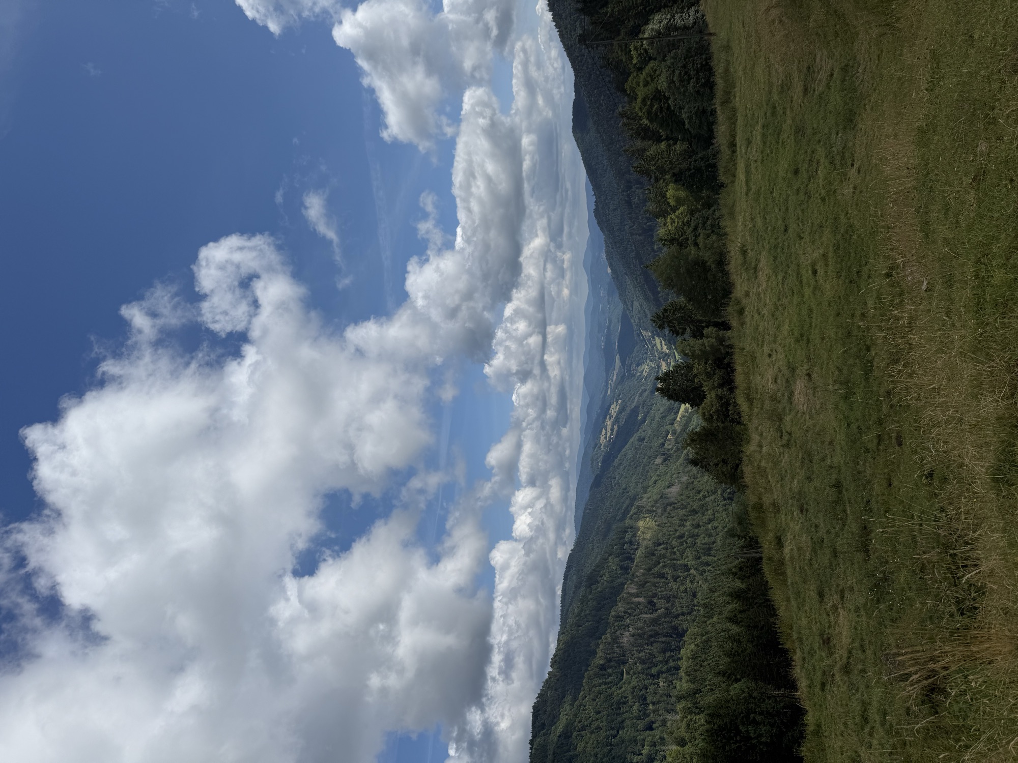
- 1Col des BagenellesOpen grassland with a wide view over the wooded, rolling valley, early on the route.
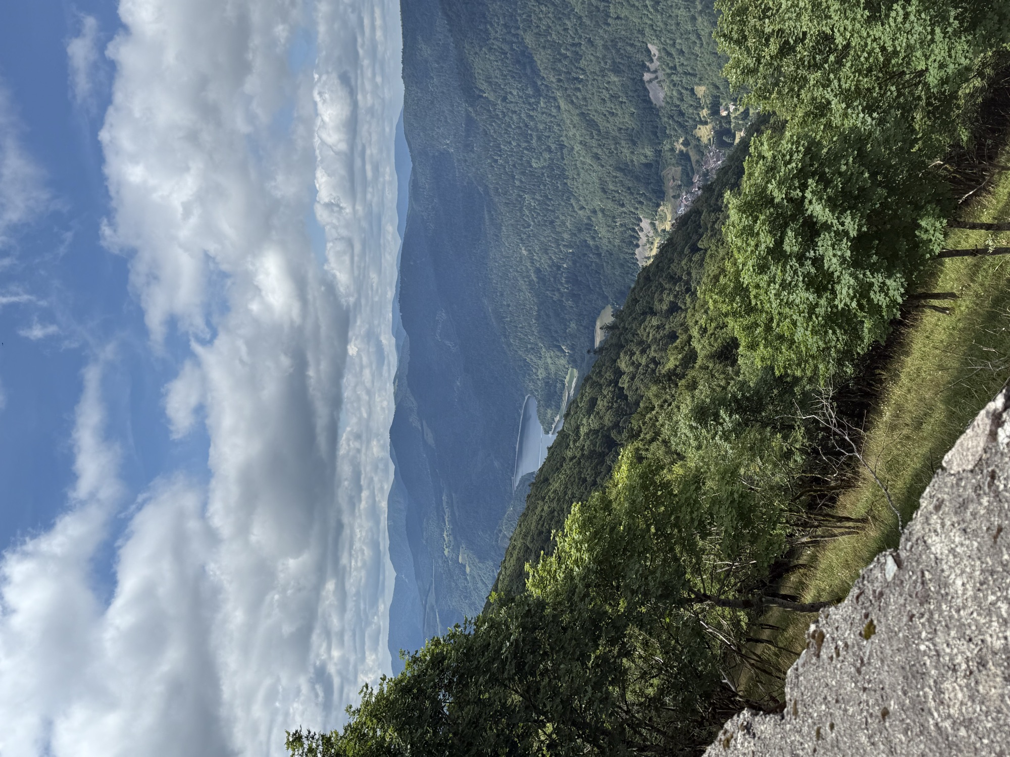
- 2View over Lac de Kruth-WildensteinFrom the road here you look out over the reservoir deep in the valley, with the mountains of the Vosges behind it.
- 3Le MarksteinHere you find a terrace at a restaurant to take a break, plus a rail luge track that stays open year-round.
- 4Le Grand BallonThe highest point of the Vosges; you reach the actual summit (1,424 m) with a short walk from the parking area.
Based on the GPX track. Small deviations are normal.
Things to know about the Route des Crêtes – Vosges
The name is centuries old, the ball shape isn't
At 1,424 meters, Le Grand Ballon is the highest point of the Vosges and of this route. The name "ballon" is centuries old and likely comes from an old word for "forest", not from the shape of the summit. Still, it's a fun coincidence: since 1998 a bright white, ball-shaped radar dome has stood on top for air traffic control over Mulhouse and Strasbourg.
A regular on the Tour de France
Le Markstein, one of the high points on the way to the Grand Ballon, shows up regularly in the Tour de France. Tony Martin was first over the pass in 2014, in 2022 it hosted the finish of the women's race, and later editions brought Le Markstein back into the route.
Visible from the road, far below
We could already see Lac de Kruth-Wildenstein from the road, far in the distance, and made a short stop to take it in, with the mountains of the Vosges all around the lake.
Built after a flood
The lake isn't natural: it was built between 1959 and 1963 after a severe flood in 1947, mainly to regulate the flow of the Thur river. A hydroelectric plant was never installed, as the flow was too low to justify one.
Practical info on the road
A break at Le Markstein
At Le Markstein, on the way to the Grand Ballon, there's a terrace where you can grab a drink or a bite with a view over the mountains. Behind it sits a rail luge track that's open year-round, a fun extra stop if you want to stick around a bit longer.
Share the road with cyclists
This route, and especially the climb to Le Markstein and the Grand Ballon, is popular with road cyclists and features regularly in the Tour de France. Watch for climbing cyclists in the bends and give them plenty of room when overtaking.
Leave early on a nice day
On good-weather weekends and during summer holidays, the Route des Crêtes draws plenty of motorcycles, cars and cyclists. Set off early in the morning for quieter roads and a better chance of clear views from the high points.
Fill up before you climb
There are no fuel stations at the pass summits themselves, including at the Grand Ballon. Fill up beforehand in one of the villages at the foot of the Vosges before heading onto the Route des Crêtes.
On the road on the Route des Crêtes – Vosges
Drag or scroll through the photos